Introduction to the Map on Mobile Phones
The PCPA Interactive Map interface for Mobile Phone is designed to allow you to search, explore, and find your way around Polk County, Florida. The map resizes controls based on your screen size and orientation. It also sizes controls to assist with using a touch interface. The mapping experience is modeled after popular consumer-based mapping applications and includes seamless panning, zooming, and intuitive search tools.
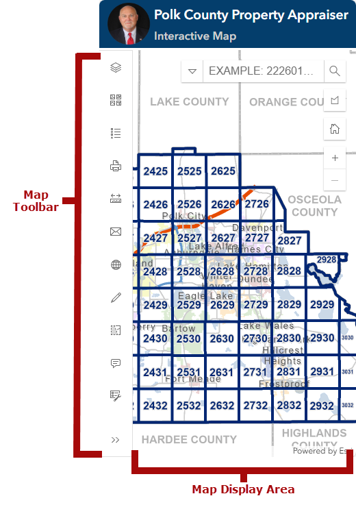
Map Toolbar
The Map Toolbar appears left side of the map window. Clicking or tapping on a tool icon activates the tool. To close a tool window, simply click or tap on the tool again. Tools Include: Layers, Change Basemap, Basemap Layers, Legend, Print, Measurement, Email Link to Map, Coordinate Conversion, Sketch, Select Parcels, and Submit Feedback.
NOTE: When using a mobile device you may not be able to see the full toolbar. Swiping up or down on the tool bar will scroll the toolbar so you can access the all of the tools.
Map Display Area
The Map Display Area functions as expected -- it displays the map. Use the map display area to navigate the map and make parcel selections for more information.
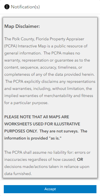
Site Disclaimer
The site disclaimer governs your use of the website. By clicking or tapping OK on the disclaimer you acknowledge, understand, and further agree to the terms and conditions outlined in the disclaimer.